


Making Areas that People Love
Comfortable
Functional
Healthy
Safe
Sustainable
Embracing Co-Development
with One Model
Area Development projects combines all life cycle phases, all domains, and all processes together, managed by multiple organizations in different roles, sharing the same space and time in the same area. This complexity is very difficult to manage, and when that fails, it leads into conflicts, delays and budget overruns.
6DPlanner connects all this into into One Model(TM) with:
- One easy to use collaboration app for everyone
- One shared real-time updated situation truth
- Visual tools to coordinate, co-develop and collaborate
This leads to:
- Common understanding of daily situation
- Clear and optimized execution plans
- Project deliveries on time, in quality, and in budget
"Area Development requires a lot of coordination between multiple projects, organizations and stakeholders. A common shared collaboration platform is the key to successful project deliveries."
- Martzi Strutzke, CCO, 6DPlanner

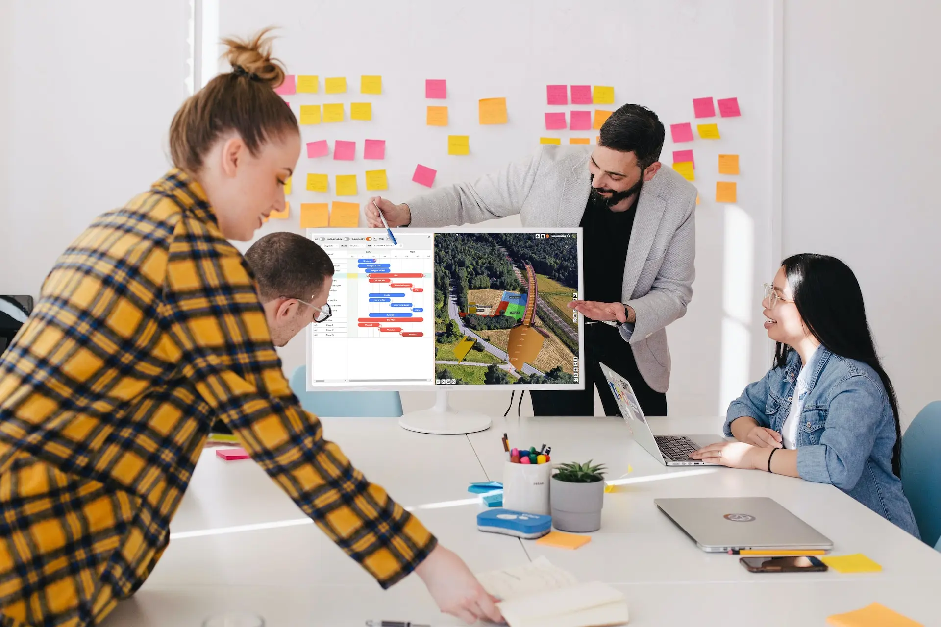
Plan to Execute
Well planned is half done, they say...
The earlier you plan the bigger impact you can make. You can construct your project virtually before actual construction. This allows you optimize the execution before the real costly execution starts:
- Solution co-development
- Work planning
- Schedule optioneering
- Resource planning
- Cost estimation
- ESG estimation
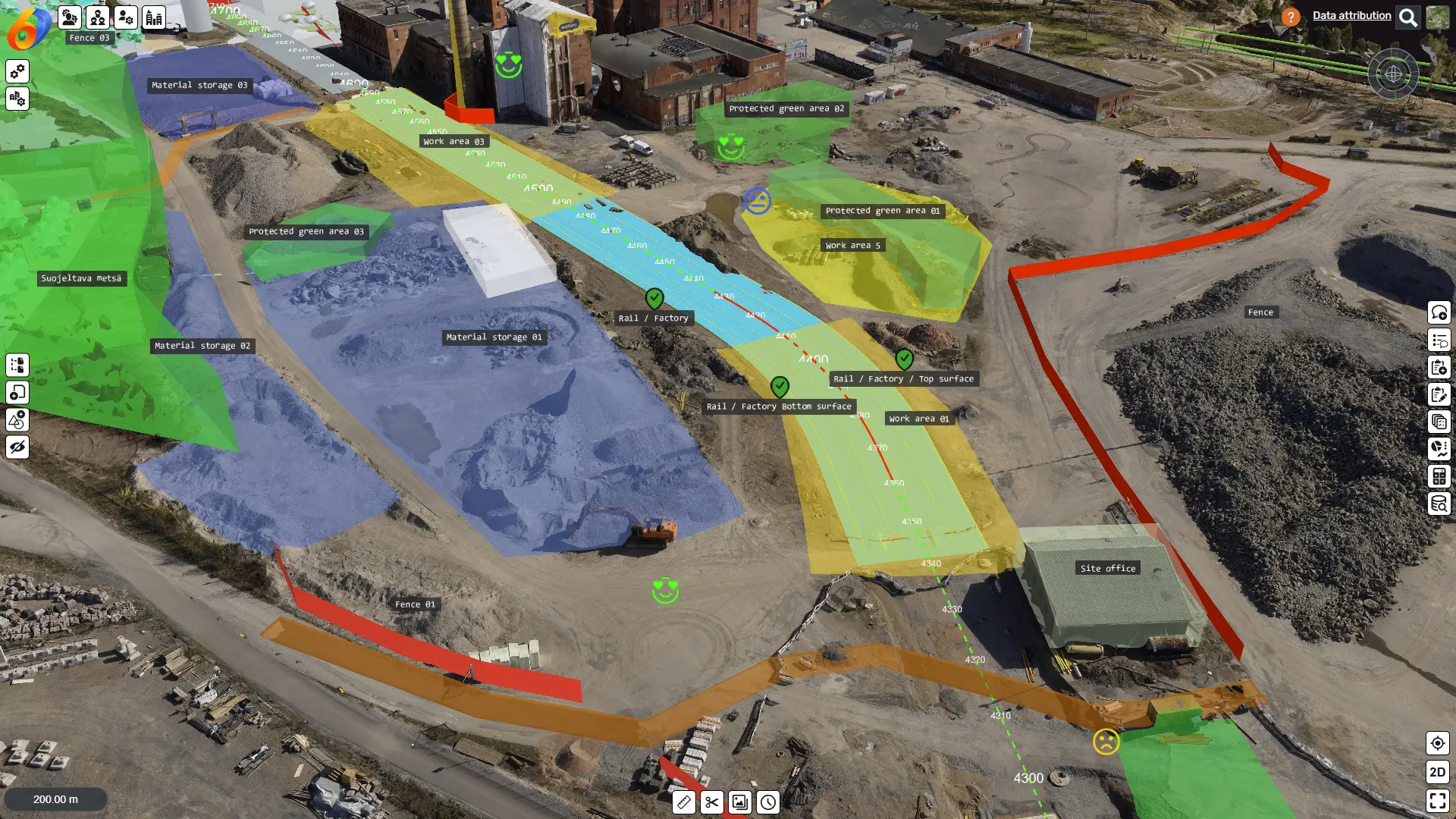
One Model
6DPlanner combines all project aspects, both information and processes, into a One Model:
- 1D - Project scope, goals and requirements
- 2D - Location-based workflows
- 3D - Information model workflows
- 4D - Schedule management
- 5D - Resource and quantity management
- 6D - Life cycle management
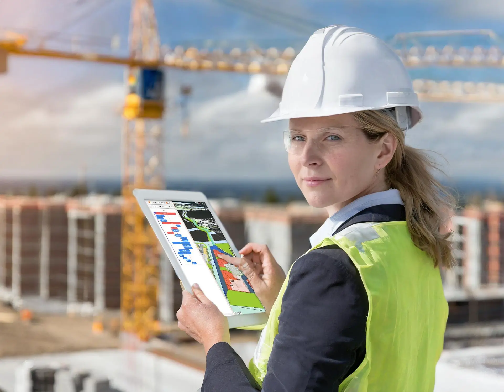
Execute as Planned
When well planned projects go into execution it is essential the plan is accessible by everyone on-site. 6DPlanner is mobile optimized and all information can be used also on-site with mobile devices. Field workers can execute tasks and report progress back for example:
- Tasks with visual information
- QA and approval workflows with checklists
- Schedule updates
- Photo documentation
- Forms with custom templates
- Issue reporting with photos
Become the Master
of Multi-Project Coordination
Lead with information so that everyone understands
Coordinate transparently with visual execution plans
Participate stakeholders to co-develop best solutions
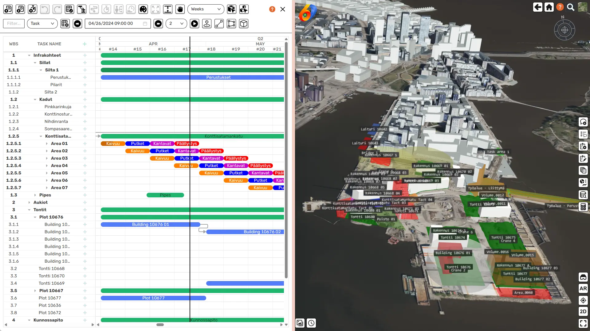
Master Planning
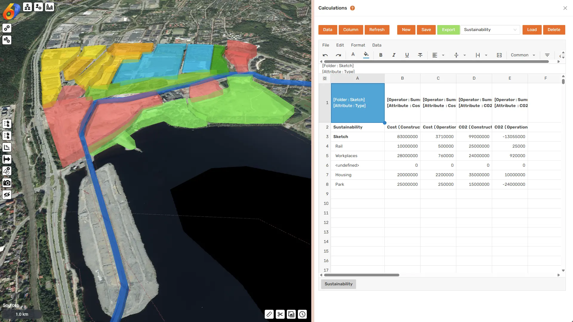
Manage the area master plan as objects. Schedule objects and attach your own information like cost, material, emission data. Calculate totals and estimate area cost balance between land sales and construction costs.
Design Coordination
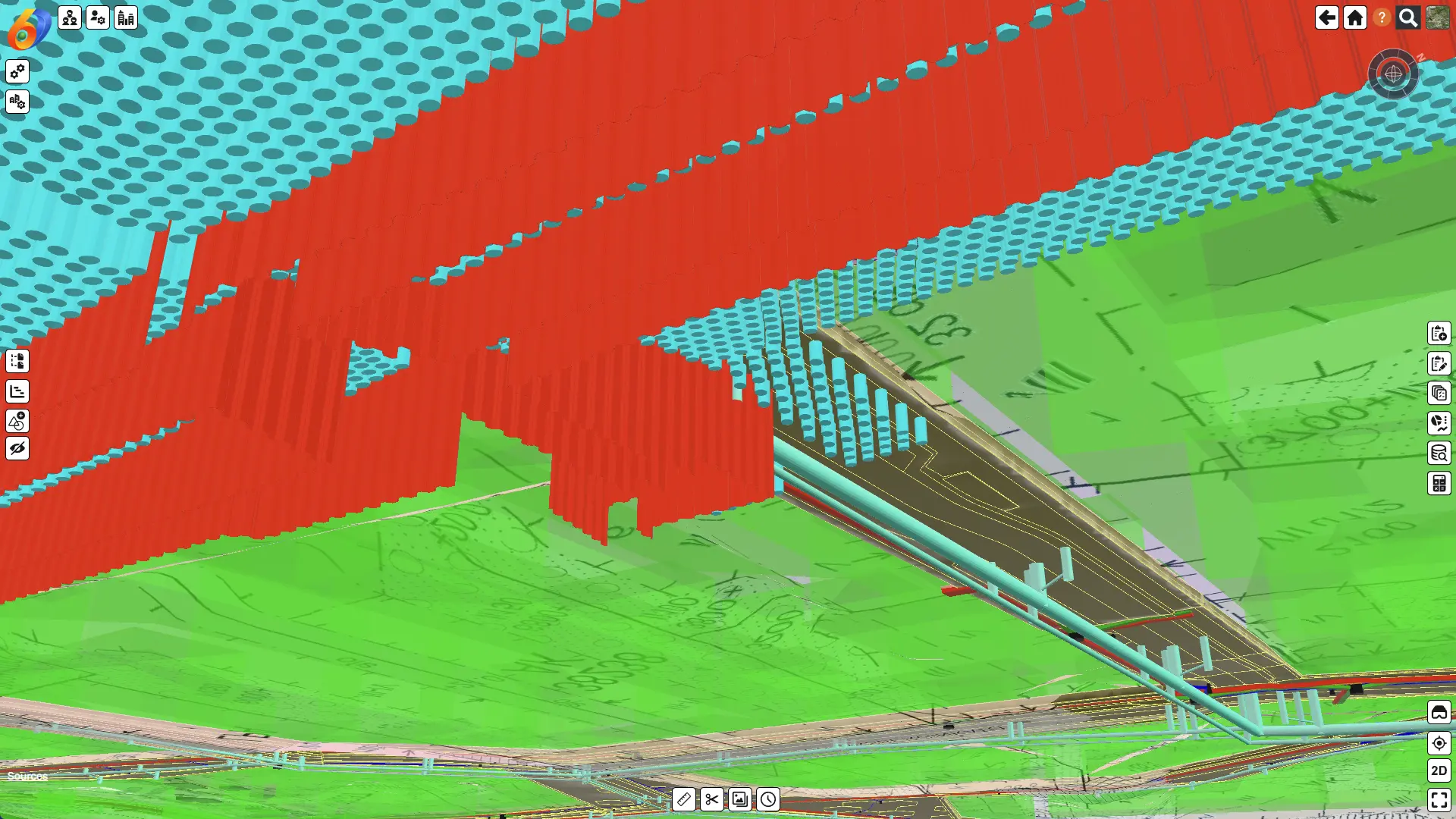
Combine all design disciplines together and co-develop with designers and constractors optimal overall solutions. Analyze how design fit to surroundings and to each other.
Area Coordination
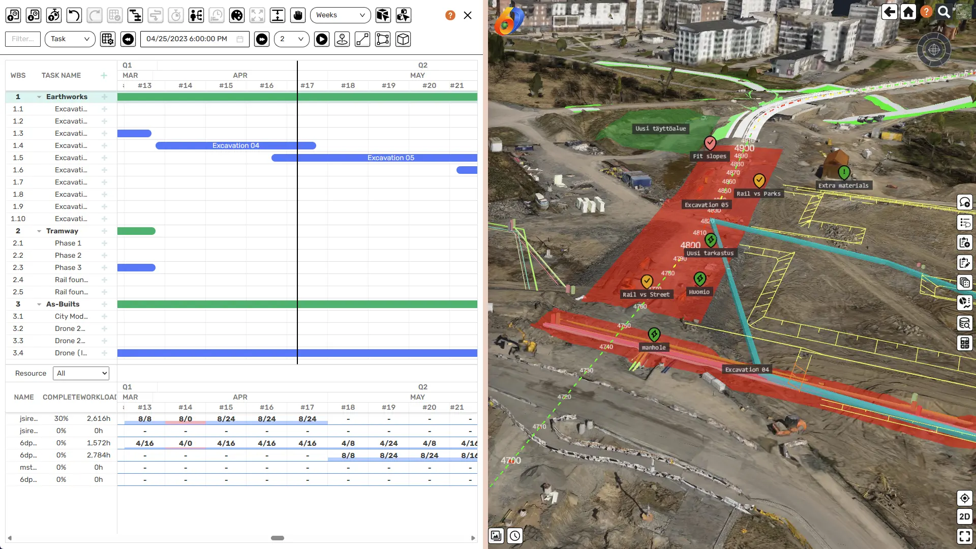
Manage how space is used in the area, with time perspective. Coordinate construction work areas, logistics rutes, traffic arrangements, storage areas, safety and security arrangements, and site facilities between multiple simultaneous projects.
Participation
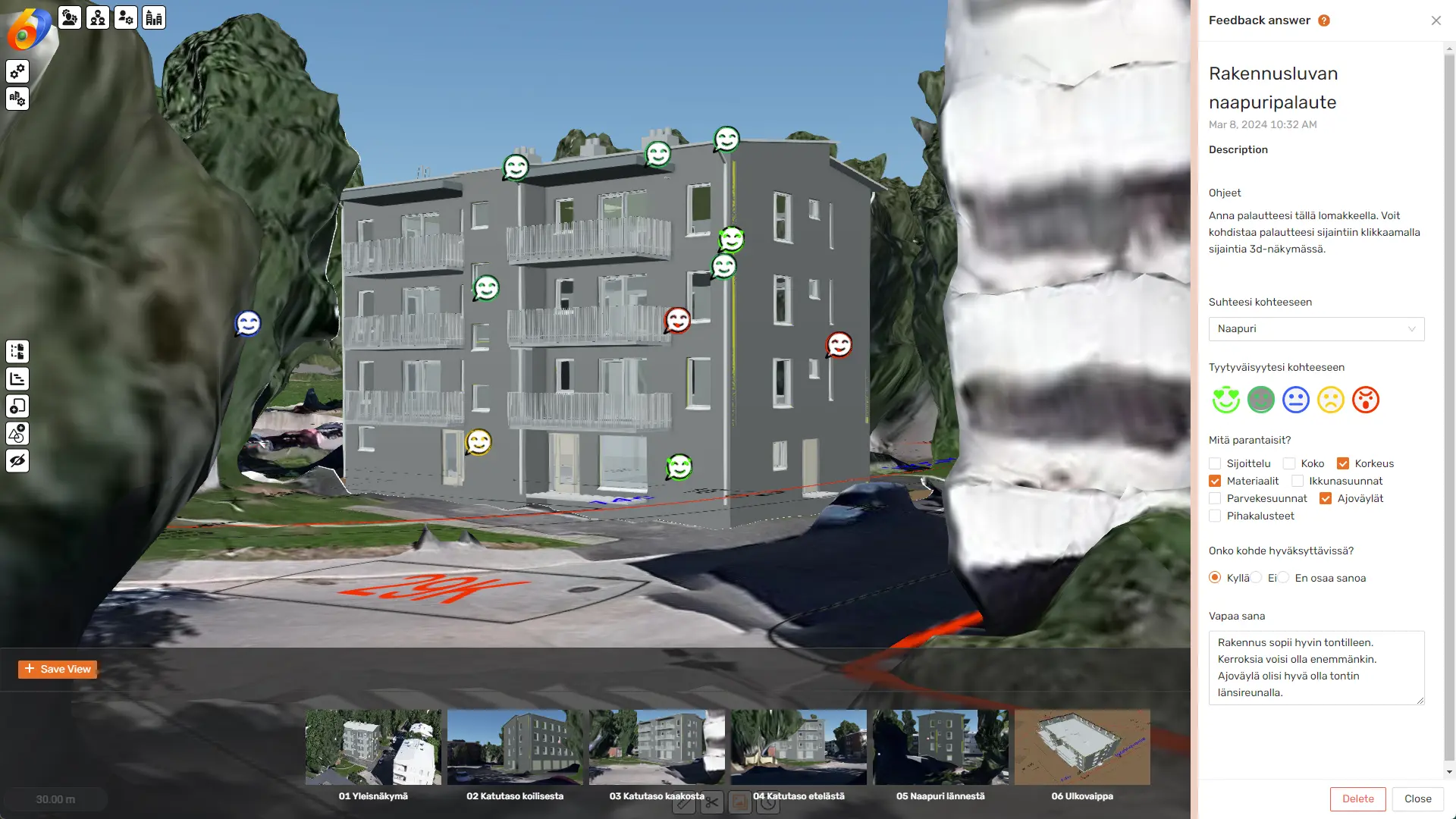
Present projects interactively and publish models on-line for stakehoders to view. Collect feedback with customizable frorms and use data to improve solutions even more. Use area model also in digital building permit neighbourgh hearing process.
Construction
Manage construction between multiple simultaneous projects. Coordinate who can use wha space and when. Co-coordinate with all contractors with a shared coordination model.
Sustainability
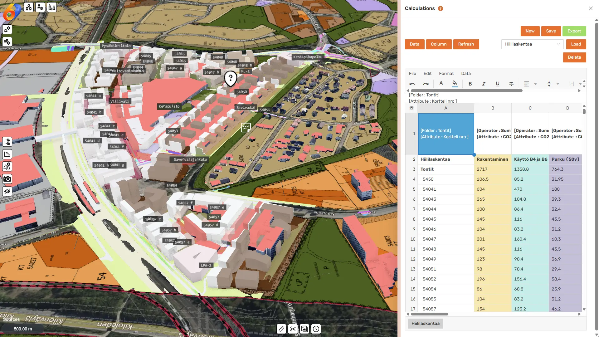
Manage LCA estimation results as one information layer combined to the are model. Calculate total emissions for the whole area and estimate the CO2 balance during consrtruction, operation and demolition.
Unique Advantages for Area Development
City Models
City models are the foundation for city planning. You can plan and analyze solutions virtually in their real locations and check for exampel how they fit into the cityscape.
GIS
Combine base maps, land use, land owners, traffic, public transport, services, nature, ... together and use information as planning insights.
BIM
Integrate BIM models durectly into City Models and analyze design fit to cityscape and shadows with the surroundins.
Sketch
Quickly sketch roads, buildings, areas, fences, 3d objects directly into city models and experiment with alternative solutions before more detailed design.
4D Scheduling
Add time perspective to city planning and present how cities will develop over the years, and present how the city will look for example after 20 years.
Custom Attributes
Add information into city planning objects and calculate totals for example cost balance, CO2 balance, amount of residents, parking places, ...
Deliver outcomes that matter
People
- Become a visual leader
- Gain success with faster deliveries
- Be more efficient
- Execute tasks right-at-once
- Report task progress in real-time
- Document results with photos
Organization
- Wider public and stakeholder acceptance
- Improved coordination between sub-projects
- More efficient space usage during construction
- Minimal disruptions from construction
- Cost savings
- Increased quality
Society
- Increased sustainability
- Comfortable living environments
- Functional solutions
- Increased safety
- Minimal consruction disturbance